New Zealand Forecast – Mixed Weather for Thursday and Friday, and again Sunday
Published early Wednesday, 18th June 2025
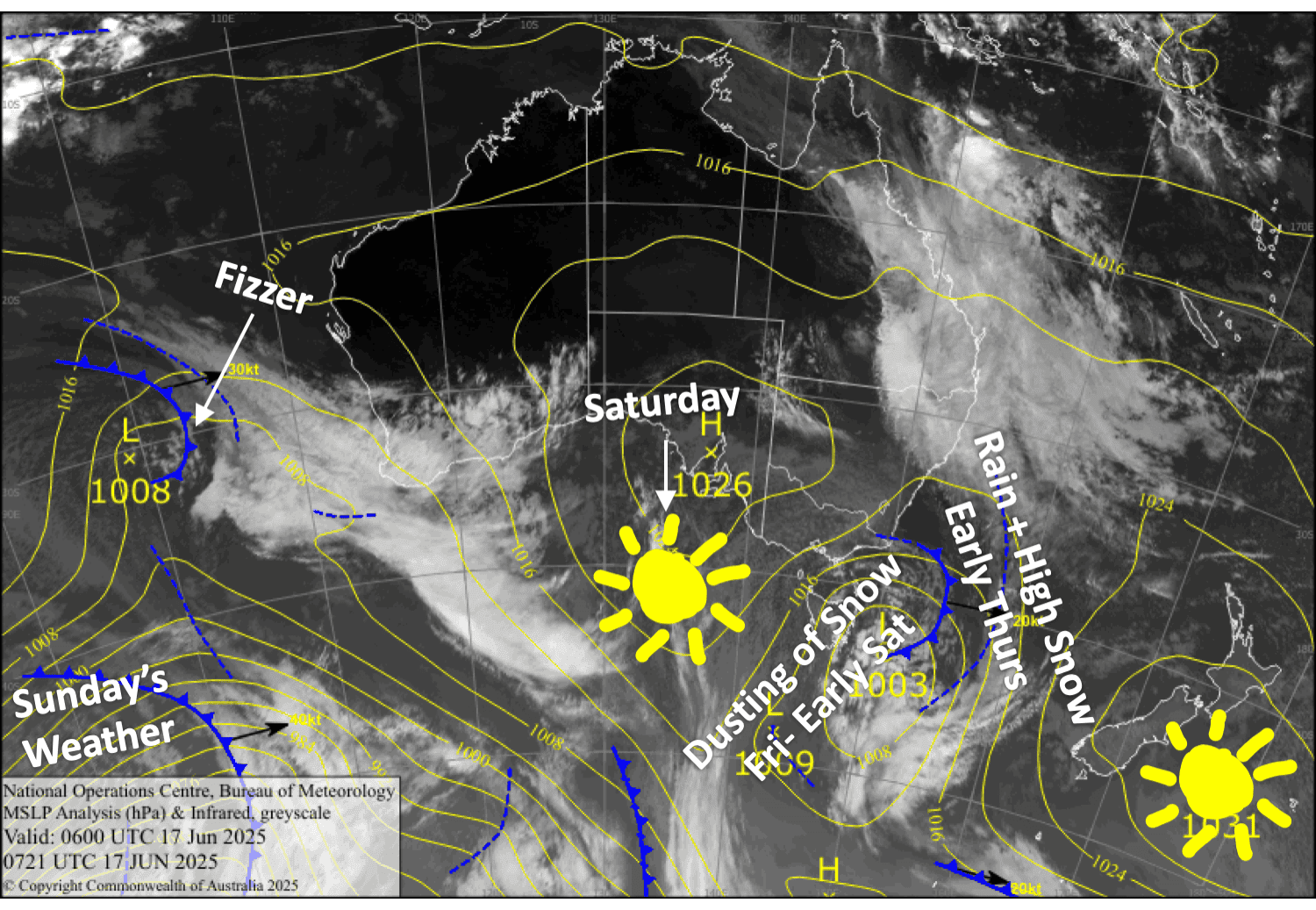
Thursday and Friday will bring an interlude to this run of nice weather. Fortunately, the worst of it will come before opening time on Thursday when a front from the west brings a mix of rain and high-level snow, although strong winds will persist for the rest of the day, especially in Canterbury. We’ll then see snow showers at times through until early Saturday, giving the ski fields just a dusting. Another front from the south will bring another spot of rain and high-level snow on Sunday.
Wednesday 18th June
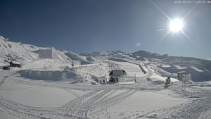
Another gorgeous day for all South Island ski fields as north-to-northwest breezes develop. High cloud will build over the Southern Lakes from afternoon.
Thursday 19th June
A front passing over from the west will bring a period of rain to South Island ski fields, mainly during the small hours before opening time. It’ll fall as snow up high for the Southern Lakes, and then there’ll be light snow showers to base levels there from evening.
During the day, however, skies will be partly cloudy with gusty northwesterlies, which will be blowing a strong gale in exposed areas of Canterbury, likely limiting operations there.
Friday 20th June
Partly cloudy skies with strong, gusty west-to-northwest winds in exposed areas. Snow showers develop over the Southern Lakes from afternoon, mainly on the Queenstown side, as winds turn southwest. Snow showers will also kick up along the Canterbury Frontal Range (think Mt Hutt & Porter’s Pass) from evening as the southwest winds arrive here too.
Saturday 21st June
Any remaining snowfall over South Island ski fields will clear early as southerly winds drop away, leaving a mostly calm, sunny day.
Sunday 22nd June
Northwest winds pick up over the South Island, before a front from the south brings a west-to-southwest change and a period of rain and high-level snow to the Southern Lakes during the day, and then Canterbury after closing time.
Extended Forecast
Next week, a series of fronts from the west will pass over the country from around Tuesday through Friday, bringing strong northwest winds and a deluge of rain, followed by a cold southwest change and snow towards the end of the period. It could get very ugly. Pressure is then likely to build for a more settled weekend.
That’s all from me today, folks. I’m sending out these forecasts every Monday, Wednesday and Friday throughout the season. Have a great couple of days, and I’ll see you back here on Friday.
Grasshopper